
Abstract
The overall aim is to understand how the Bering Glacier in Alaska responds to three of five Shared Socioeconomic Pathways (SSP), SSP1-26, SSP3-70, and SSP5-85. Furthermore, calculating future mass loss and runoff changes helps identify how the glacier is currently responding to the world’s climate. The general consensus is that most of the world’s glaciers have passed their peak water levels, with a few exceptions in regions such as Alaska, the Canadian Yukon, and British Columbia. Some of the reasons that regions of North America have yet to reach peak water are altitude, latitude, and glacier size. Annual glacier runoff in these regions remains consistent over the 100-year projection, with only a slight reduction over this period. However, there were significant changes in the source of this runoff. Areas where the glacier used to be are now covered by snow and play a significantly more important role in annual glacier runoff. Glacier volume and area exhibit a strong negative correlation throughout the model, but they appear to reach equilibrium approximately 90 years into the projection. Importantly, through the projection, the annual glacial runoff remains constant when the runoff occurs between June and August. The time peak water occurs fluctuates by multiple years depending on the climatic model employed; therefore, accurate projections of glacier runoff depend significantly on reliable climate predictions. For reliable climate predictions to be made, global coordination is needed as over 1.9 billion people around the world have a heavy reliance on the annual glacier runoff to support their way of life.
Introduction
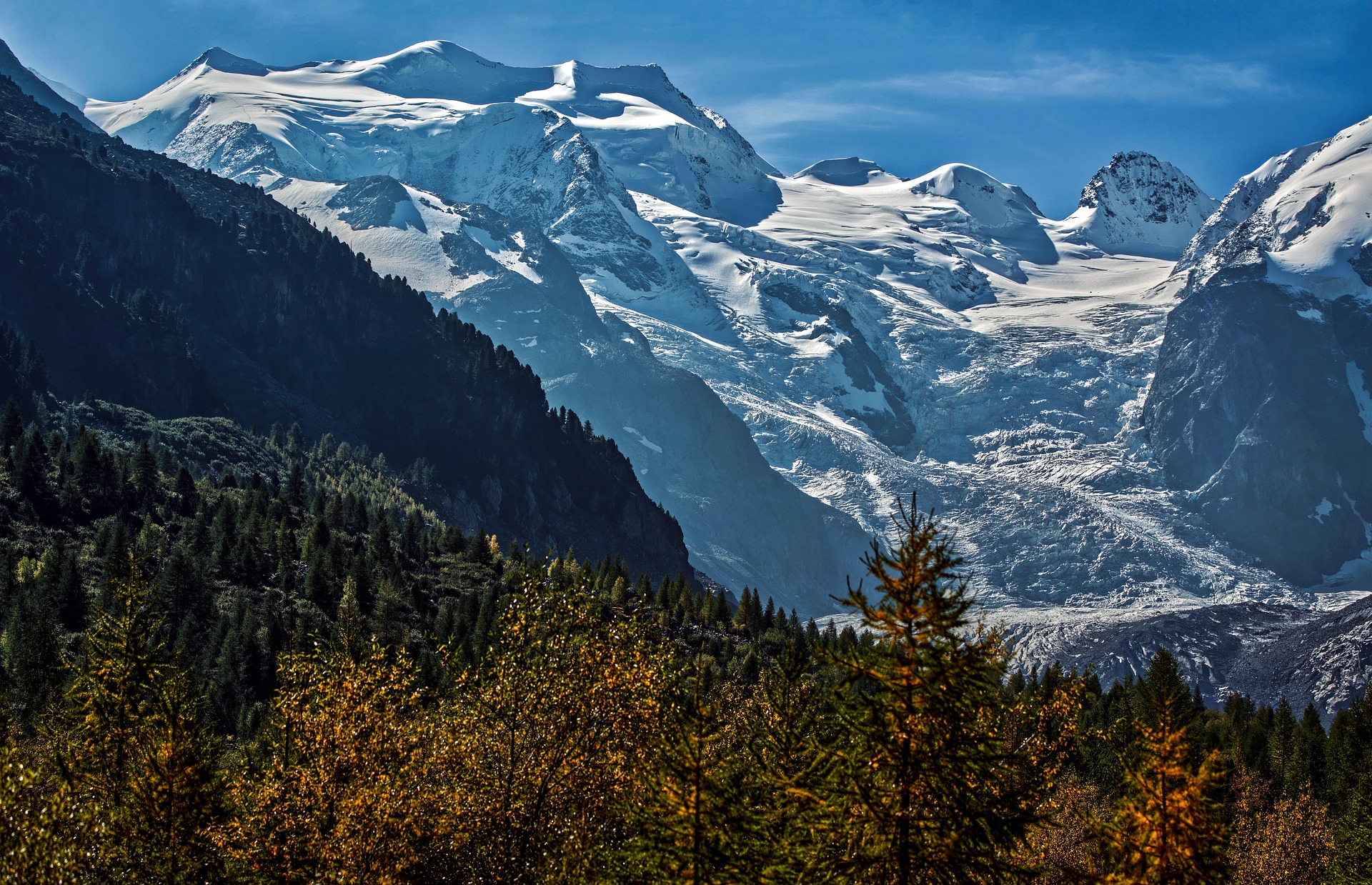
Glaciers, slow-moving rivers of ice that act under gravity, are found on every continent on Earth, including Africa. However, anthropogenic climate change poses a threat to the very existence of glaciers due to rising temperatures, which have led to the loss of approximately 270 billion tonnes of ice per year on average between 2000 and 2023 outside of Greenland and Antarctica BBC News (2025).
This loss of glacial mass is associated with only a 1.28 °C increase in global temperatures since the Industrial Revolution; however, global projections suggest an 80% chance of the average global temperature exceeding 1.5 °C for at least one of the next five years NASA (2024), World Meteorological Organization (2024). Leading to the possibility of Europe losing 80% of its small glaciers by 2100 United Nations (2025). With the decline of mountain glaciers, future projections under various climate scenarios are crucial for understanding glacial runoff. Glacier runoff refers to the total volume of water lost from a glacier through ablation, which can directly affect the volume of water in the river channel. Currently, 26% of the world’s drainage basins, excluding Greenland and Antarctica, which account for nearly one-third of the global human population, are fed, in part, by glacial runoff Global Citizen (2019).
For many examples around the world, glaciers are the source of water that sustains some of the planet’s most important rivers. The Ganges in India and the Yangtze in China are some examples. The Yangtze is the third longest river in the world and the longest in Asia. It has a drainage basin that encompasses over one-third of China’s population, approximately 400 million people World Wildlife Fund (2024). This mighty river is home to over 378 species of fish, which supplies around half of all the fish eaten in China and two-thirds of the country’s rice, meaning the river contributes to as much as 40% of China’s entire economy World Wildlife Fund (2024), Discovery (2023). The source of this critical river can be found approximately 6,300 km from its mouth, near Shanghai, in the Qinghai Province of China, on the slopes of some mountain glaciers in the Tanggula Mountains.
The Himalayas, which are the source of these two major rivers, are often referred to as water towers due to the large number of glaciers, which release water during the summer months when most or all of the winter snowpack has melted. Due to the heavy reliance of over 1.9 billion people worldwide on these glaciers to replenish the rivers’ flow, understanding glacier runoff is becoming increasingly vital for the lives of the people who call these regions home Huss (2018). Therefore, the projection of how the mass balance of alpine glaciers will change as a result of climate change is key to understanding annual glacial runoff. However, some argue that models predicting far into the future, over a decade, are not accurate enough, and models projecting over a few years can be projected with sufficient accuracy Vieli et al. (2004).
Methodology
I used the GLIMS Glacier Viewer to find the RGI ID of my chosen glacier, the Bering Glacier, located in the state of Alaska. I then conducted a spin-up run till the model reached equilibrium using the command “spinup_historical” as well as committed runs. Then, using this data, multiple glacial runoff projections were generated with the Open Global Glacier Model (OGGM) in Jupyter notebook, producing graphs based on future climate models. This projection assessed the area and volume of the Bering Glacier up to 100 years into the future, both of which are fundamental aspects of annual glacier runoff.
Results

Figure 1- Changes in area and volume of the Bering Glacier since 2000.
Figure 1 provides an indication of the health of the Bering Glacier in Alaska; however, the overall trend is that the glacier has been losing mass. Between 2000 and 2020, the Bering Glacier lost approximately 0.8 million cubic meters of ice. However, from 2011 to 2015, the glacier’s volume and area increased, with a particularly large area spike in 2013.

Figure 2 – 100-year projection of Area and volume of the Bering Glacier.
Projections of the Bering Glacier over the next 100 years indicate that it will continue to lose ice mass before stabilizing at approximately 600,000 to 700,000 square meters in area within roughly 80 years. One noticeable comparison between the two graphs in Figure 2 is that the volume is in a continuous decline, whereas the area exhibits more sudden drops throughout the projections. However, the projection for the area 30 years into the future suggests that it will decrease slightly, compared to volume, which is projected to fall by around 45% compared to only 3% for the area. This suggests that the thickness of the glacier is a primary contributor to the runoff.

Figure 3 – 100-year projection of annual runoff of the Bering Glacier.
Total runoff follows a similar pattern to that of the area shown in Figure 2, with a reduction starting from 30 years onwards. However, the trend from that point onwards is that the output of the glacier will decrease, but it will remain above 3 MT for the next 100 years, according to the projections.

Figure 4 – 100-year projection of runoff sources from the Bering Glacier.
The sources of the runoff shown in Figure 4 can be broken down into four categories:
- (Melt_off_glacier) = Snow melt from areas that were once home to the glacier.
- (Melt_on_glacier) = Ice + Seasonal snow melt on the glacier.
- (liq_prcp_off_glaicer) = Precipitation that falls away from the glacier.
- (liq_prcp_on_glaicer) = Precipitation that falls on the glacier.
Snowmelt from areas where the glacier once was increased from near 0 to around 1.1 MT per year in runoff. The melting of ice and seasonal snow on the glacier reduced as the glacier’s area and volume decreased. Furthermore, precipitation that falls off of the glacier also increased. All these metrics in this projection suggest that the glacier is retreating, and over the next 100 years, glacier runoff will become increasingly less reliant on melting directly from the glacier. Snowfall around the glacier will change from being a miniscule factor in glacial runoff at the start of the projection to the joint highest contributor by the end of the projection.

Figure 5 – 100-year projection of the timeframe of annual runoff of the Bering Glacier.
Aside from a reduction in runoff in August across the 100-year projection, the glacier output remains consistent, providing a reliable water source for three months of the year.

Figure 6 – 100-year projections of peak annual runoff of the Bering Glacier using different climatic models.
All climate projections suggest that the Bering glacier has yet to reach its peak water level but is expected to do so between 2040 and 2045, depending on prevailing climatic conditions. After peaking, runoff will significantly decrease by around 1 Mt before stabilizing at 3.5 Mt of annual runoff per year. Noticeably, with the SSP models 370 and 585, the estimated peak water is one to two years apart, with the only difference being the volume of discharge.
Discussion
This study is important as it highlights the reliance that has been placed on water storage in mountainous regions worldwide, which poses a threat to water resources. However, the region I examined in southern Alaska is a very remote part of the world with very few people living there. The meltwater river at the terminus of the Bering glacier does not pass through any village or town before reaching the Pacific Ocean, which is only about 15 miles from the glacier snout, but it still plays a role in providing water to the surrounding ecosystems. Water, which if global temperatures continue to increase at the rate they are currently, will reduce the annual runoff by roughly 750 million liters per year.
One lesser-known issue arising from anthropogenic-induced climate change is the increase in tectonic activity associated with the reduction in ice mass inland, known as isostatic rebound. This rebound is causing Southeastern Alaska to rise at about 1.5 inches per year, Forbes (2021). This rebound “can reactivate faults and lift pressure on magma chambers that feed volcanoes” Masih (2018). The trend of increasing tectonic activity is expected to continue rising as the isostatic rebound in Alaska persists.

Figure 7 – Frequency of Earthquakes in Alaska. Masih (2018)
Figure 7 demonstrates the increase in earthquake frequency since 1974. Between 2001 and 2016, the region experienced some of the highest yearly temperatures ever recorded, leading to significant glacier ablation and contributing to the loss of mass in the Bering Glaciers, as shown in Figure 1 Masih (2018).
The sudden increase in length of the Bering Glacier in 2013, Figure 1, is likely due to a glacier surge that occurred in multiple locations around the state of Alaska between 2008 and 2013 Trantow et al. (2024). This surge had a significant impact on the Bering-Bagley Glacier System, which experienced sudden increases in flow. This charge reduces the depth of the ice cap from which the Bering Glacier originates, as large amounts of ice are drawn from it Trantow et al. (2024). This is one reason an increase in glacier volume can be observed after the surge, as winter precipitation replenishes the mass lost.
The Bering-Bagley Glacier System is located within the Wrangell-St. Elias National Park, a large area of wilderness, on the border between Alaska and Canada. This glacier system is the largest in North America and is one of the primary water sources in the region, with the majority of the runoff flowing out of the Chitina River, merging with the Copper River to flow out into the Gulf of Alaska Trantow et al. (2024). The Copper River is a renowned location for salmon when the months of May through September are the primary months for salmon Copper River Salmon (2025). As discussed before, from Figure 5, June and August are the peak months of glacier runoff for the Bering glacier, which, although it does not flow out of the Copper River, is still part of the same system.

Figure 8 – River gage on the Copper River United States Geological Survey (2025)
Figure 8 illustrates the rise in water flow in the Copper River during the peak glacier runoff, with the river rising by around 10 to 15 feet between May and October. This shows that accurate annual glacier runoff projections still matter even when there are little to no settlements in the river basin, as well-known foods like salmon use the runoff to help migrate upstream to breed.
Conclusion
To reach this conclusion, I conducted multiple simulations against three of the five Shared Socioeconomic Pathways (SSPs), SSP1-26, SSP3-70, and SSP5-85, within a Jupyter notebook environment to produce several charts that showed various attributes of the Bering Glacier. These spin-up runs help identify changes to annual glacial runoff and narrow down the time when peak water may occur. However, predicting glacier runoff is extremely challenging, as climate change makes it difficult to understand how the future climate will look, given the still major unknowns regarding how some of the world’s largest emitters will adapt their industries to benefit the wider good. However, the importance of accurate glacier runoff predictions cannot be overstated, as billions of people around the world rely on these frozen bodies of water located high on mountain peaks for their drinking water, industrial use, and agricultural needs. Among the metrics of the models by Open Global Glacier Models, the timeframe of peak water is by far the most critical, as it marks the turning point for a reduction in annual glacier runoff from that point forward. Although the time of peak water for the Bering Glacier may not be as important as others around the world as there are very few, if any, humans who rely on its runoff to sustain them, there are large swathes of the Alaskan wilderness where the Bering Glacier and nearby ice field are one the primary water sources. In addition, the isostatic rebound taking place across large portions of Alaska is reactivating ancient fault lines, leading to an increase in tectonic activity along the famous Ring of Fire so even if the glaciers are not used as much as a water source than other areas in the world the continual studying of the thawing bodies of ice is still vital in understanding how tectonic activity will change as climate change intensifies. However, for a better understanding of annual glacier runoff, updated data on all the glaciers in the drainage basin needs to be gathered to better understand how all the glaciers are reacting to the changing climate. This would not be easy and would require significant capital investment and large numbers of trained people, but considering the repercussions to billions of people if these water towers of the world are lost much earlier than predicted, it is a small price to pay.
References
BBC News (2025) World’s glaciers melting faster than ever recorded. [Online]. Available from: <https://www.bbc.co.uk/news/articles/cy4ly8vde85o#:~:text=But%20glaciers%20have%20been%20shrinking,ice%20a%20year%20on%20average.> [Accessed 01/04/2025].
Copper River Salmon (2025) Copper River Salmon. [Online]. Available from: <https://www.copperriversalmon.org> [Accessed 06/04/2025].
Discovery (2023) The Longest Rivers in Asia. [Online]. Available from: <https://www.discoveryuk.com/travel-and-exploration/the-longest-rivers-in-asia/> [Accessed 03/04/2025].
Forbes (2021) Melting Glaciers Contribute To Alaska Earthquakes. [Online]. Available from: <https://www.forbes.com/sites/davidbressan/2021/03/19/melting-glaciers-contribute-to-alaska-earthquakes/> [Accessed 01/04/2025].
Global Citizen (2019) Billions Rely on Himalayan Glaciers for Water. But They’re Disappearing. [Online]. Available from: <https://www.globalcitizen.org/en/content/himalayas-melting-climate-change/> [Accessed 03/04/2025].
Huss, M., Hock, R. (2018) Global-scale hydrological response to future glacier mass loss. Nature Climate Change. [Online]. 8 (2), pp. 135-140. Available from: <https://doi.org/10.1038/s41558-017-0049-x> [Accessed 02/04/2025].
Leysinger Vieli, G.J.M.C. & Gudmundsson, G.H. On estimating length fluctuations of glaciers caused by changes in climatic forcing. Journal of Geophysical Research: Earth Surface 109, F01007 (2004).
Masih, A. (2018) An Enhanced Seismic Activity Observed Due To Climate Change: Preliminary Results from Alaska. Earth and Environmental Science. [Online]. 167 (012918). Available from: <https://doi :10.1088/1755-1315/167/1/012018> [Accessed 02/04/2025].
Trantow, T., & Herzfeld, U. C. (2024) Evolution of a Surge Cycle of the Bering-Bagley Glacier System From Observations and Numerical Modeling. JGR Earth Surface. [Online]. 129 (1), pp. e2023JF007306. Available from: <https://doi.org/10.1029/2023JF007306> [Accessed 04/04/2025].
United Nations (2025) End of eternal ice: Many glaciers will not survive this century, climate scientists say. [Online]. Available from: <https://news.un.org/en/story/2025/03/1161296> [Accessed 01/04/2025].
United States Geological Survey (2025) Copper R at Million Dollar Bridge NR Cordova AK – 15214000. [Online]. Available from: <https://waterdata.usgs.gov/monitoring-location/15214000/#dataTypeId=continuous-00065-0&period=P3000D&showMedian=false> [Accessed 06/04/2025].
World Wildlife Fund (2024) The Yangtze. [Online]. Available from: <https://www.wwf.org.uk/where-we-work/places/yangtze-asias-longest-river#:~:text=A%20third%20of%20all%20the,40%25%20of%20China%27s%20whole%20economy> [Accessed 03/04/2025].


+ There are no comments
Add yours